

The EO4SURE project works hand-in-hand with national authorities (“Champion Users”) to co-develop real-world applications of Earth Observation (EO) in support of SDG indicator production and monitoring. Below are selected use cases currently being piloted in partner countries, reflecting concrete data needs, technical solutions, and institutional priorities.
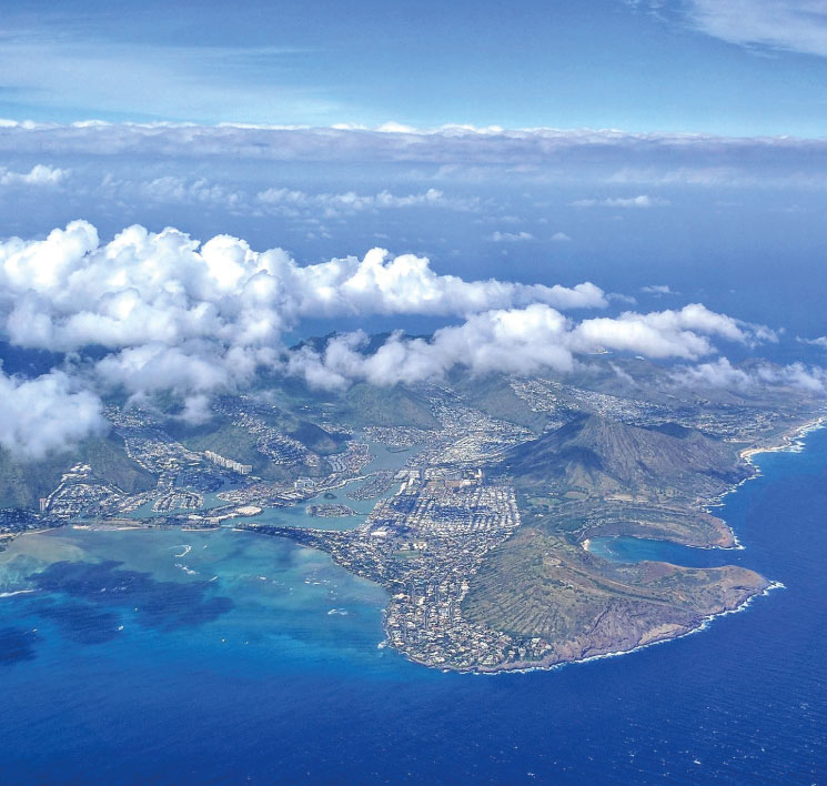
CABO VERDE
Cabo Verde, as a Small Island Developing State (SIDS), faces significant challenges in monitoring its marine environment and sustainably managing its fisheries.
CABO VERDE
Cabo Verde, as a Small Island Developing State (SIDS), faces significant challenges in monitoring its marine environment and sustainably managing its fisheries.
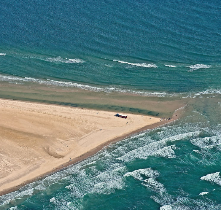
PORTUGAL
Portugal, and in particular the Algarve region, faces growing pressures on water resources due to prolonged droughts, intensive agriculture, and increasing tourism.
PORTUGAL
Portugal, and in particular the Algarve region, faces growing pressures on water resources due to prolonged droughts, intensive agriculture, and increasing tourism.
DENMARK
Denmark is the national statistical institute responsible for compiling and disseminating official statistics, including data on the environment, water, and energy.
DENMARK
Denmark is the national statistical institute responsible for compiling and disseminating official statistics, including data on the environment, water, and energy.
SÃO TOMÉ E PRINCÍPE
Fisheries Directorate of São Tomé and Príncipe is the governmental body responsible for the management, regulation,of fisheries and marine resources.
SÃO TOMÉ E PRINCÍPE
Fisheries Directorate of São Tomé and Príncipe is the governmental body responsible for the management, regulation,of fisheries and marine resources.
CHAMPION USERS
CABO VERDE
Indicators
SDG 14.1.1 – Index of coastal eutrophication and floating plastic debris density.
SDG 14.4.1 – Proportion of fish stocks within biologically sustainable levels.
SDG 14.7.1 – Sustainable fisheries contribution to GDP.
Champion Users
INE-CV (National Institute of Statistics of Cape Verde) is the official national authority responsible for producing and coordinating statistical information in Cabo Verde. It plays a central role in compiling and validating national indicators for the Sustainable Development Goals (SDGs), ensuring alignment with international standards and contributing to official reporting processes.
IMAR (Institute of the sea) is a public institute under the tutelage of the Ministry of the Sea, responsible for the coordination and execution of marine scientific research, environmental monitoring, and marine resources management in Cabo Verde. IMAR is also in charge of oceanographic data collection, marine spatial planning, and the technical supervision of marine-related projects. Through its mandate, IMAR plays a central role in advising national marine policies and supporting the integration of environmental and fisheries data into planning and reporting frameworks.
Use Case Focus
Cabo Verde, as a Small Island Developing State (SIDS), faces significant challenges in monitoring its marine environment and sustainably managing its fisheries. EO4SURE is working closely with national authorities to co-design EO-based tools that help bridge critical data gaps and support SDG monitoring aligned with the country’s strategic priorities.
Key components of the use case include:
Marine Pollution Monitoring (SDG 14.1.1)
Time series of satellite-derived chlorophyll-a concentration from Sentinel-3 are being used to monitor potential eutrophication hotspots. IMAR and INE-CV identified key coastal zones around São Vicente and Santiago for initial assessment. Integration with in-situ data is planned to improve validation and interpretation.
Monitoring Fisheries Activity (SDG 14.4.1)
EO products such as sea surface temperature (SST) and chlorophyll-a are combined with known artisanal fishing zones to help infer fishing effort. This indirect approach helps estimate pressure on fish stocks in the absence of systematic catch data. Vessel tracking data may also be explored when available.
Blue Economy Statistics (SDG 14.7.1)
EO4SURE is supporting the development of indicators on the economic contribution of fisheries. While INE-CV holds the mandate for official statistics, data from IMAR and maritime authorities will be used to enrich analysis and estimate productivity linked to fishing areas.

PORTUGAL
Indicators
SDG 6.4.2 – Level of water stress.
SDG 6.6.1 – Change in the extent of water-relatedecosystems over time
Champion Users
Directorate-General for Maritime Affairs (DGPM), under the Ministry of Economy and Maritime Affairs, is responsible for coordinating Portugal’s marine policy and ensuring compliance with international frameworks such as the SDGs and the Marine Strategy Framework Directive (MSFD). DGPM is the main national authority for SDG 14.1.1 reporting and has a key role in integrating EO-based marine pollution indicators into national monitoring systems.
APA (Portuguese Environment Agency) is the national environmental agency under the Ministry of Environment and Climate Action. It is responsible for the implementation of water management policies, environmental monitoring, and compliance with the EU Water Framework Directive. APA provides technical oversight and defines data needs for water-related SDG indicators.
APA Algarve is the regional division of APA that operates in the Algarve region. It focuses on integrated water resources management and coordination with local stakeholders, including in drought-prone areas. APA Algarve ensures the regional relevance of EO-based applications developed under EO4SURE.
INE Portugal (National Institute of Statistics) is the national statistical authority in charge of official statistics, including those related to environment and sustainable development. INE supports the methodological alignment and integration of EO-derived data into national SDG reporting.
Use Case Focus
Portugal, and in particular the Algarve region, faces growing pressures on water resources due to prolonged droughts, intensive agriculture, and increasing tourism demand. EO4SURE is co-developing with national and regional authorities a set of EO-based tools to better quantify and monitor these dynamics and support SDG reporting and water governance.
Key components of the use case include:
Mapping the Extent of Water Bodies and Wetlands (SDG 6.6.1)
Using high-resolution time series from Sentinel-2 and Landsat, the project is mapping inland water bodies, reservoirs, lagoons, and wetlands in the Algarve. This will allow for the detection of seasonal and interannual variations, and help assess the degradation or recovery of key ecosystems.
Irrigation Dynamics and Agricultural Water Use (SDG 6.4.2)
EO data is being used to monitor irrigation activity through indicators such as evapotranspiration (ET) and vegetation indices (NDVI/EVI). The goal is to estimate spatial patterns of water use in agriculture, a major pressure point in the Algarve, and to support APA in assessing water stress levels more accurately.
Groundwater Monitoring through InSAR (Advanced Component)
The use case is exploring the integration of Sentinel-1 and European Ground Motion Service (EGMS) data to detect land subsidence associated with groundwater extraction. Although still in an exploratory phase, this application could become a valuable complement to in-situ monitoring in areas with intensive groundwater use.
Integration with National Statistics
INE Portugal is working with APA and the EO4SURE technical team to ensure that derived EO indicators align with national statistical methodologies and can be incorporated into future SDG reporting workflows. This includes exploring proxy indicators and disaggregation at regional levels.
User-Oriented Tools
A regional dashboard is under development to visualise the evolution of surface water extent and irrigation patterns over time, with the possibility to overlay administrative or protected area boundaries. This is intended to support local decision-making and public communication of environmental trends.
This use case was designed and validated through a Living Lab held with APA Algarve, where key data needs, technical priorities, and institutional roles were jointly mapped.
DENMARK
Indicators
SDG 6.4.2 – Water stress.
SDG 6.6.1 – Ecosystem extent.
SDG 7.b.1 – Renewable .energy infrastructure investment.
Champion Users
Statistics Denmark is the national statistical institute responsible for compiling and disseminating official statistics, including data on the environment, water, and energy. It plays a leading role in assessing the feasibility of integrating EO into national statistical workflows and in ensuring alignment with international SDG indicator methodologies.
Use Case Focus
The use case in Denmark explores how EO data can be systematically integrated into official statistics, particularly for environmental indicators where traditional data sources are limited.
Key focus areas include:
Using EO to monitor surface water bodies and wetlands to support SDG 6.6.1 reporting.
Assessing renewable energy infrastructure expansion (e.g., solar and wind farms) using satellite imagery and land cover change analysis.
Supporting SDG 6.4.2 with EO-derived land use and evapotranspiration estimates, to be cross-referenced with water use data.
This use case was designed and validated through a series of meetings with Statistics Denmark, where key data needs, methodological priorities, and opportunities for integrating EO into official statistical workflows were jointly assessed.

SÃO TOMÉ E PRINCÍPE
Indicators
SDG 14.4.1 – Proportion of fish stocks within biologically sustainable levels.
SDG 14.7.1 – Sustainable fisheries contribution to GDP.
Champion Users
Fisheries Directorate of São Tomé and Príncipe is the governmental body responsible for the management, regulation, and monitoring of fisheries and marine resources. It plays a central role in data collection, licensing, enforcement, and policy development related to artisanal and industrial fisheries. Within EO4SURE, the Directorate supports the definition of technical requirements for EO-based fisheries monitoring and provides national data to validate and align Earth Observation products with reporting obligations.
National Institute of Meteorology of São Tomé and Príncipe (INM) is responsible for collecting, analysing, and disseminating meteorological and environmental data. Within EO4SURE, INM contributes with climate and oceanographic data to support the development of EO-based tools for fisheries and marine ecosystem monitoring, as well as assisting in the validation of satellite-derived indicators. INM also plays a role in supporting national capacity building for climate-related data services.
Use Case Focus
As a Small Island Developing State (SIDS) with a high dependency on marine resources, São Tomé and Príncipe faces challenges in monitoring and managing its fisheries in a sustainable way. EO4SURE supports national authorities in strengthening marine governance by developing EO-based tools that address key SDG indicators and provide spatial insights on fishing activity and ecosystem health.
Key components of the use case include:
Monitoring Fishing Pressure and Activity (SDG 14.4.1):
Satellite-derived environmental variables, such as chlorophyll-a concentration and sea surface temperature, are being used to characterise productive fishing zones. The project aims to combine this with geospatial analysis of vessel movements and artisanal fishing activity to support assessments of fishing pressure and sustainability.
Economic Monitoring of Fisheries (SDG 14.7.1):
EO4SURE supports the estimation of spatial indicators on fisheries' contribution to the national economy, identifying productive fishing areas and aligning EO insights with economic and statistical data. This helps national institutions improve the baseline data available for blue economy planning and SDG reporting.
Data Scarcity Solutions:
Given the limited availability of in-situ data, EO provides a cost-effective alternative to monitor trends across the national marine territory and complement sparse field-based monitoring systems.
Cross-Institutional Collaboration:
Efforts are being made to engage statistical and environmental institutions in addition to the Fisheries Directorate and INM, to foster national ownership and ensure alignment with reporting frameworks.
